

Please use this identifier to cite or link to this item:
https://hdl.handle.net/10216/168871| Author(s): | Abdorreza Alavi Gharahbagh Vahid Hajihashemi José J. M. Machado João Manuel R. S. Tavares |
| Title: | Land Cover Classification Model Using Multispectral Satellite Images Based on a Deep Learning Synergistic Semantic Segmentation Network |
| Issue Date: | 2025-03 |
| Abstract: | Land cover classification (LCC) using satellite images is one of the rapidly expanding fields in mapping, highlighting the need for updating existing computational classification methods. Advances in technology and the increasing variety of applications have introduced challenges, such as more complex classes and a demand for greater detail. In recent years, deep learning and Convolutional Neural Networks (CNNs) have significantly enhanced the segmentation of satellite images. Since the training of CNNs requires sophisticated and expensive hardware and significant time, using pre-trained networks has become widespread in the segmentation of satellite image. This study proposes a hybrid synergistic semantic segmentation method based on the Deeplab v3+ network and a clustering-based post-processing scheme. The proposed method accurately classifies various land cover (LC) types in multispectral satellite images, including Pastures, Other Built-Up Areas, Water Bodies, Urban Areas, Grasslands, Forest, Farmland, and Others. The post-processing scheme includes a spectral bag-of-words model and K-medoids clustering to refine the Deeplab v3+ outputs and correct possible errors. The simulation results indicate that combining the post-processing scheme with deep learning improves the Matthews correlation coefficient (MCC) by approximately 5.7% compared to the baseline method. Additionally, the proposed approach is robust to data imbalance cases and can dynamically update its codewords over different seasons. Finally, the proposed synergistic semantic segmentation method was compared with several state-of-the-art segmentation methods in satellite images of Italy's Lake Garda (Lago di Garda) region. The results showed that the proposed method outperformed the best existing techniques by at least 6% in terms of MCC. |
| Subject: | Ciências Tecnológicas, Ciências da engenharia e tecnologias Technological sciences, Engineering and technology |
| Scientific areas: | Ciências da engenharia e tecnologias Engineering and technology |
| DOI: | 10.3390/s25071988 |
| URI: | https://hdl.handle.net/10216/168871 |
| Document Type: | Artigo em Revista Científica Internacional |
| Rights: | openAccess |
| Appears in Collections: | FEUP - Artigo em Revista Científica Internacional |
Files in This Item:
| File | Description | Size | Format | |
|---|---|---|---|---|
| 735695.pdf | article | 4.85 MB | Adobe PDF |  View/Open |
| 735695.1.jpeg | 1st Page | 993.61 kB | JPEG | 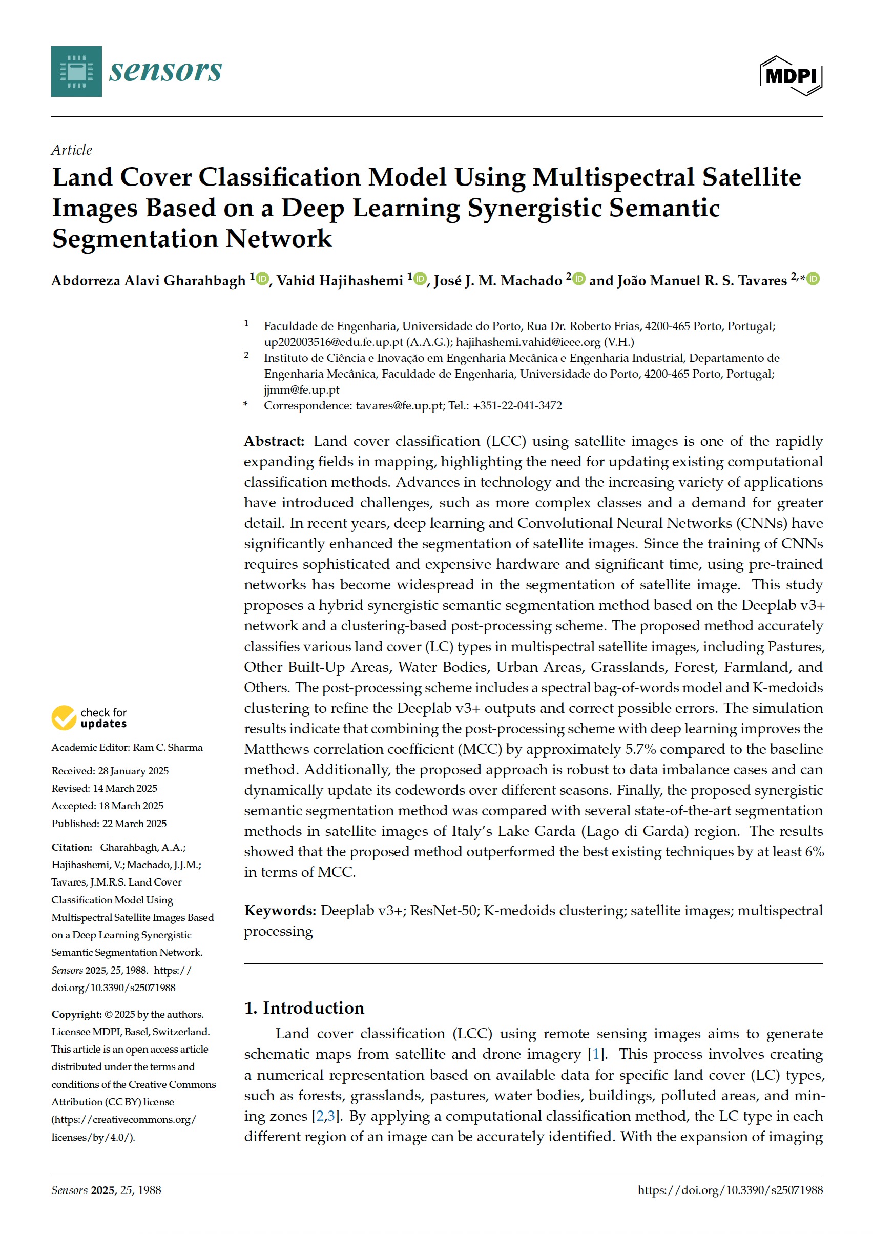 View/Open |
Items in DSpace are protected by copyright, with all rights reserved, unless otherwise indicated.